Dodds Lane, Alnwick
Introduction
The photograph on this page of Dodds Lane, Alnwick by Geoff Holland as part of the Geograph project.
The Geograph project started in 2005 with the aim of publishing, organising and preserving representative images for every square kilometre of Great Britain, Ireland and the Isle of Man.

There are currently over 7.5m images from over 14,400 individuals and you can help contribute to the project by visiting https://www.geograph.org.uk
Dodds Lane, Alnwick
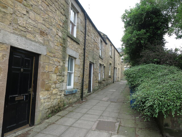
Image: © Geoff Holland Taken: 7 Jun 2021
This narrow lane runs from Clayport Street and emerges eventually onto Green Batt.
Images are licensed for reuse under creativecommons.org/licenses/by-sa/2.0
Image Location
Latitude
55.411928
Longitude
-1.708722