Public footpath along waterfront, Upper Upnor
Introduction
The photograph on this page of Public footpath along waterfront, Upper Upnor by Robin Webster as part of the Geograph project.
The Geograph project started in 2005 with the aim of publishing, organising and preserving representative images for every square kilometre of Great Britain, Ireland and the Isle of Man.

There are currently over 7.5m images from over 14,400 individuals and you can help contribute to the project by visiting https://www.geograph.org.uk
Public footpath along waterfront, Upper Upnor
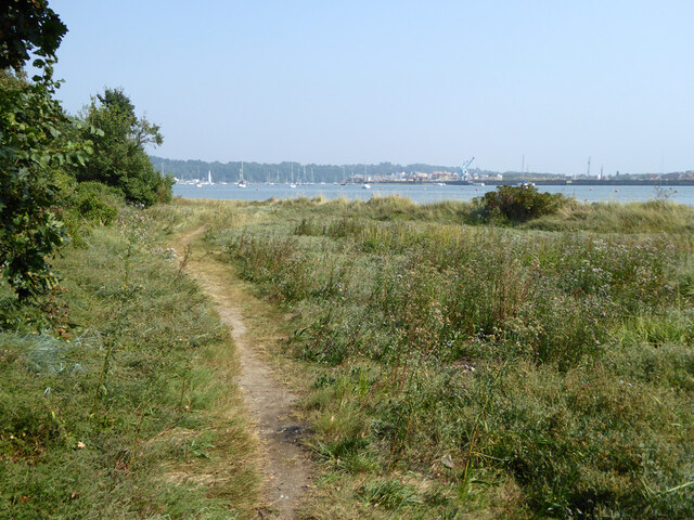
Image: © Robin Webster Taken: 15 Sep 2016
I think this is path RS121, but Medway do not have an on-line map in this area, only lists that give rather vague street name terminal points for each path and no precise coordinates.
Images are licensed for reuse under creativecommons.org/licenses/by-sa/2.0
Image Location
Latitude
51.404577
Longitude
0.525832