Road junction at the east end of Wigglesworth village
Introduction
The photograph on this page of Road junction at the east end of Wigglesworth village by Stephen Craven as part of the Geograph project.
The Geograph project started in 2005 with the aim of publishing, organising and preserving representative images for every square kilometre of Great Britain, Ireland and the Isle of Man.

There are currently over 7.5m images from over 14,400 individuals and you can help contribute to the project by visiting https://www.geograph.org.uk
Road junction at the east end of Wigglesworth village
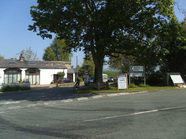
Image: © Stephen Craven Taken: 31 May 2021
The road in the foreground, heading right, leads to Long Preston; beyond the tree, Jack Lane leads to Giggleswick. See also Image
Images are licensed for reuse under creativecommons.org/licenses/by-sa/2.0
Image Location


Leaflet Map data © OpenStreetMap
Latitude
54.008126
Longitude
-2.291243