Blocked gate
Introduction
The photograph on this page of Blocked gate by Evelyn Simak as part of the Geograph project.
The Geograph project started in 2005 with the aim of publishing, organising and preserving representative images for every square kilometre of Great Britain, Ireland and the Isle of Man.

There are currently over 7.5m images from over 14,400 individuals and you can help contribute to the project by visiting https://www.geograph.org.uk
Blocked gate
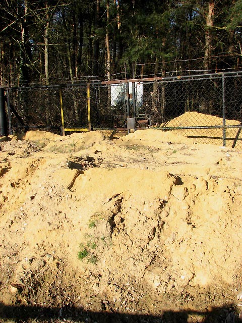
Image: © Evelyn Simak Taken: 11 Feb 2008
Bulmer Coppice is surrounded by a high fence; the entrance is blocked by a locked gate, and a large heap of sand has been deposited directly in front of this gate. The sign seen behind the fence informs that this is the Rackheath Landfill Site. See also > Image
Images are licensed for reuse under creativecommons.org/licenses/by-sa/2.0
Image Location
Latitude
52.655485
Longitude
1.361019