On the cliffs between Peacehaven and Telscombe Cliffs
Introduction
The photograph on this page of On the cliffs between Peacehaven and Telscombe Cliffs by Marathon as part of the Geograph project.
The Geograph project started in 2005 with the aim of publishing, organising and preserving representative images for every square kilometre of Great Britain, Ireland and the Isle of Man.

There are currently over 7.5m images from over 14,400 individuals and you can help contribute to the project by visiting https://www.geograph.org.uk
On the cliffs between Peacehaven and Telscombe Cliffs
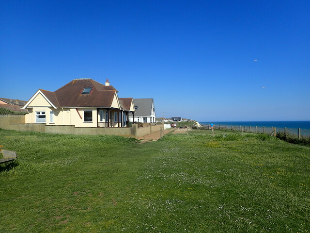
Image: © Marathon Taken: 5 Jun 2021
The bungalow is the very last one at the western end of Peacehaven as I was actually standing in Telscombe Cliffs to take the photograph. This is at the end of one of the long stretches of grass which characterise the cliff top at Peacehaven and Telscombe Cliffs.
Images are licensed for reuse under creativecommons.org/licenses/by-sa/2.0
Image Location
Latitude
50.792342
Longitude
-0.012337