Walking along Blackberry Lane in spring, looking towards Ash Green
Introduction
The photograph on this page of Walking along Blackberry Lane in spring, looking towards Ash Green by A J Paxton as part of the Geograph project.
The Geograph project started in 2005 with the aim of publishing, organising and preserving representative images for every square kilometre of Great Britain, Ireland and the Isle of Man.

There are currently over 7.5m images from over 14,400 individuals and you can help contribute to the project by visiting https://www.geograph.org.uk
Walking along Blackberry Lane in spring, looking towards Ash Green
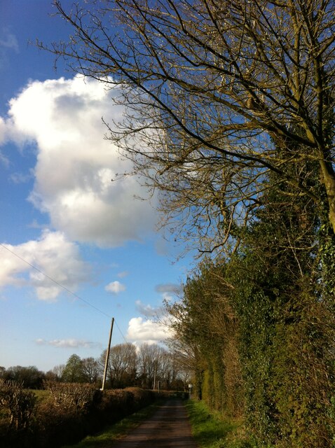
Image: © A J Paxton Taken: 6 Apr 2020
Blackberry Lane is marked on the Six Inch OS map, 1888-1913 series, as Rookery Lane, although the adjoining farm is called Blackberry Hall. https://maps.nls.uk/geo/explore/side-by-side/#zoom=16&lat=52.45443&lon=-1.51588&layers=6&right=OSAPI
Images are licensed for reuse under creativecommons.org/licenses/by-sa/2.0
Image Location
Latitude
52.456084
Longitude
-1.509172