The far south-eastern corner of Seaford
Introduction
The photograph on this page of The far south-eastern corner of Seaford by Marathon as part of the Geograph project.
The Geograph project started in 2005 with the aim of publishing, organising and preserving representative images for every square kilometre of Great Britain, Ireland and the Isle of Man.

There are currently over 7.5m images from over 14,400 individuals and you can help contribute to the project by visiting https://www.geograph.org.uk
The far south-eastern corner of Seaford
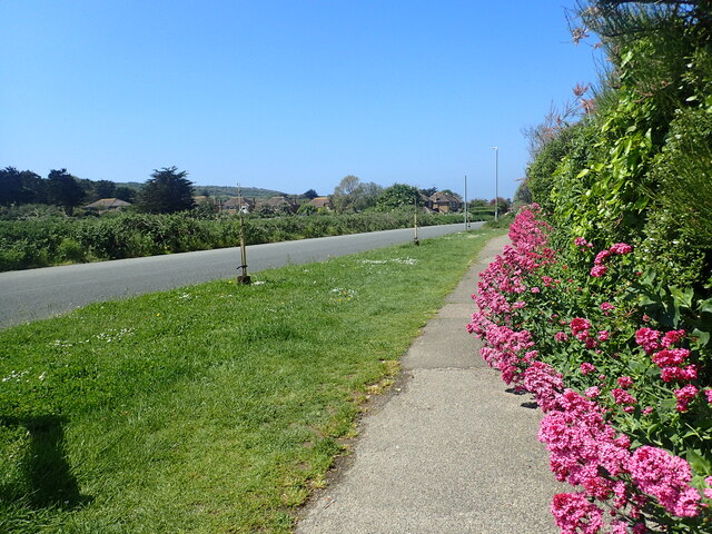
Image: © Marathon Taken: 5 Jun 2021
This is at the very end of Chyngton Way, close to the lane leading up to South Hill Barn.
Images are licensed for reuse under creativecommons.org/licenses/by-sa/2.0
Image Location
Latitude
50.767874
Longitude
0.130573