Stourport Road and service road, Kidderminster, Worcs
Introduction
The photograph on this page of Stourport Road and service road, Kidderminster, Worcs by P L Chadwick as part of the Geograph project.
The Geograph project started in 2005 with the aim of publishing, organising and preserving representative images for every square kilometre of Great Britain, Ireland and the Isle of Man.

There are currently over 7.5m images from over 14,400 individuals and you can help contribute to the project by visiting https://www.geograph.org.uk
Stourport Road and service road, Kidderminster, Worcs
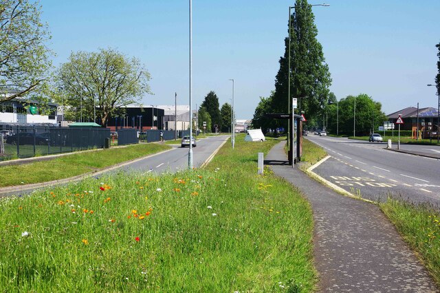
Image: © P L Chadwick Taken: 31 May 2021
Stourport Road is part of the A451. Here on the left is a section where various industrial and commercial premises are located, including the Wyre Forest Emergency Services Hub. A service road, on the left, serves these premises. Also to be found here is a bus stop and shelter, and just before this is a grassed area which includes a number of flowers, including yellow poppies. See:- Image
Images are licensed for reuse under creativecommons.org/licenses/by-sa/2.0
Image Location
Latitude
52.360691
Longitude
-2.268534