Junction of Cliff Road with old main road through Sandysike
Introduction
The photograph on this page of Junction of Cliff Road with old main road through Sandysike by Roger Templeman as part of the Geograph project.
The Geograph project started in 2005 with the aim of publishing, organising and preserving representative images for every square kilometre of Great Britain, Ireland and the Isle of Man.

There are currently over 7.5m images from over 14,400 individuals and you can help contribute to the project by visiting https://www.geograph.org.uk
Junction of Cliff Road with old main road through Sandysike
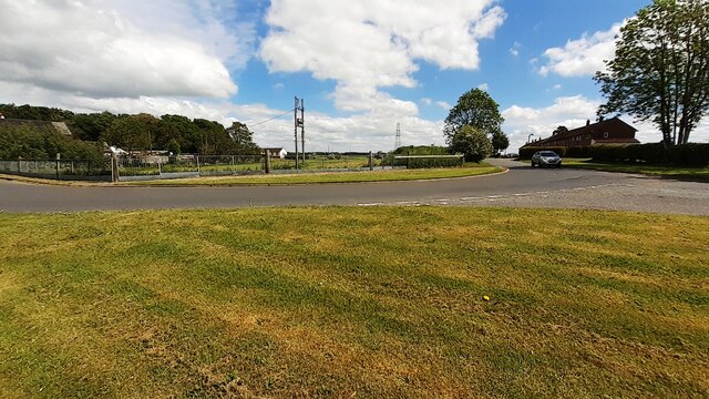
Image: © Roger Templeman Taken: 4 Jun 2021
Ordnance Survey records indicate that Sandysike toll house was located here with a benchmark levelled at 41.567 feet above Liverpool Datum during the 1844/5 Carlisle to Sark Bridge 1GL Survey. The surveyor's description was 'No. 16. Mark on South-west corner of Sandysikes Toll-house ; 1.47 ft. above surface'. See www.bench-marks.org.uk/bm79622
Images are licensed for reuse under creativecommons.org/licenses/by-sa/2.0
Image Location
Latitude
54.983442
Longitude
-2.950032