Fields to the left, houses to the right
Introduction
The photograph on this page of Fields to the left, houses to the right by Bill Harrison as part of the Geograph project.
The Geograph project started in 2005 with the aim of publishing, organising and preserving representative images for every square kilometre of Great Britain, Ireland and the Isle of Man.

There are currently over 7.5m images from over 14,400 individuals and you can help contribute to the project by visiting https://www.geograph.org.uk
Fields to the left, houses to the right
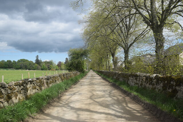
Image: © Bill Harrison Taken: 29 May 2021
A large new housing development to the west of the B9094 road just visible in the distance.
Images are licensed for reuse under creativecommons.org/licenses/by-sa/2.0
Image Location
Latitude
57.081361
Longitude
-2.796963