St Lawrence Park, Byker
Introduction
The photograph on this page of St Lawrence Park, Byker by Andrew Curtis as part of the Geograph project.
The Geograph project started in 2005 with the aim of publishing, organising and preserving representative images for every square kilometre of Great Britain, Ireland and the Isle of Man.

There are currently over 7.5m images from over 14,400 individuals and you can help contribute to the project by visiting https://www.geograph.org.uk
St Lawrence Park, Byker
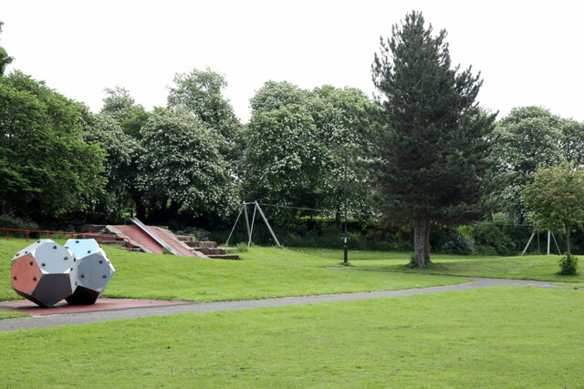
Image: © Andrew Curtis Taken: 3 Jun 2021
St Lawrence Park is a small neighbourhood park on the site of a former clay pit and brickworks. It was developed as a recreation area in the Byker estate in the late 19th/early 20th century. The popular park has a play area, open grassland for informal recreation and ball games and a network of footpaths.
Images are licensed for reuse under creativecommons.org/licenses/by-sa/2.0
Image Location
Latitude
54.971798
Longitude
-1.584755