The duckpond at Fairseat
Introduction
The photograph on this page of The duckpond at Fairseat by Marathon as part of the Geograph project.
The Geograph project started in 2005 with the aim of publishing, organising and preserving representative images for every square kilometre of Great Britain, Ireland and the Isle of Man.

There are currently over 7.5m images from over 14,400 individuals and you can help contribute to the project by visiting https://www.geograph.org.uk
The duckpond at Fairseat
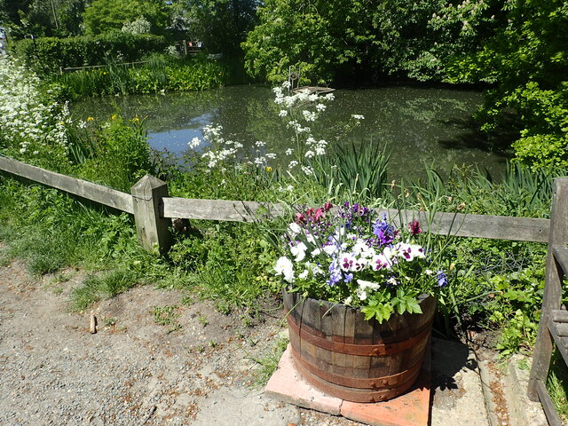
Image: © Marathon Taken: 1 Jun 2021
Large parts of the Kent Downs between the A2, the M20 and the River Medway consist of incredibly remote valleys, woods and farms. From the tops of the ridges though, distant views of the Queen Elizabeth II Bridge at Dartford, Shooters Hill, Canary Wharf and The Shard remind you how close you are to the edge of London. Fairseat is an attractive hamlet and its duckpond is seen here from the entrance to a footpath leading to Hodsoll Street.
Images are licensed for reuse under creativecommons.org/licenses/by-sa/2.0
Image Location
Latitude
51.329373
Longitude
0.327036