
Coventry Canal looking northeast from Bridge no. 13, Coalpit Field (Bedworth Hill Bridge)
Introduction
The photograph on this page of Coventry Canal looking northeast from Bridge no. 13, Coalpit Field (Bedworth Hill Bridge) by A J Paxton as part of the Geograph project.
The Geograph project started in 2005 with the aim of publishing, organising and preserving representative images for every square kilometre of Great Britain, Ireland and the Isle of Man.

There are currently over 7.5m images from over 14,400 individuals and you can help contribute to the project by visiting https://www.geograph.org.uk
Coventry Canal looking northeast from Bridge no. 13, Coalpit Field (Bedworth Hill Bridge)
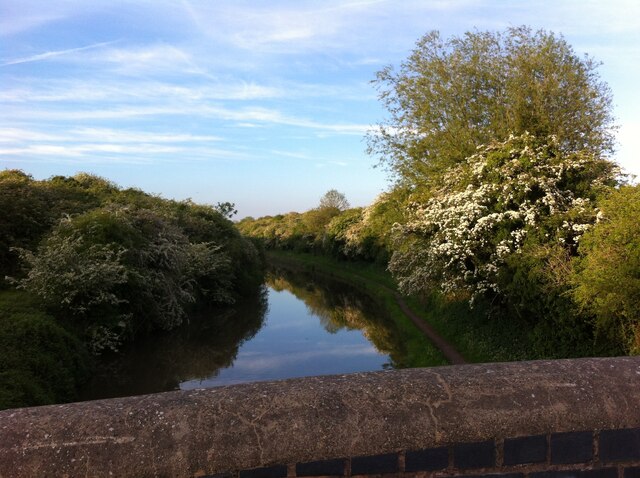
Image: © A J Paxton Taken: 1 Jun 2021
Here the course of the canal shifts from north to north east and it passes through a cutting overgrown with hawthorn and other trees. From the bridge, Coalpits Field Road leads north into the former mining town of Bedworth; to the east, the road becomes a farm track. The OS Six Inch 1888-1913 map shows a settlement here, Bedworth Hill, with two public houses, but little remains of it now. https://maps.nls.uk/geo/explore/side-by-side/#zoom=16&lat=52.47345&lon=-1.46547&layers=6&right=OSAPI
Images are licensed for reuse under creativecommons.org/licenses/by-sa/2.0
Image Location

Latitude
52.471893
Longitude
-1.464684