The Port Royal public house seen across the Exeter Ship Canal
Introduction
The photograph on this page of The Port Royal public house seen across the Exeter Ship Canal by Chris Allen as part of the Geograph project.
The Geograph project started in 2005 with the aim of publishing, organising and preserving representative images for every square kilometre of Great Britain, Ireland and the Isle of Man.

There are currently over 7.5m images from over 14,400 individuals and you can help contribute to the project by visiting https://www.geograph.org.uk
The Port Royal public house seen across the Exeter Ship Canal
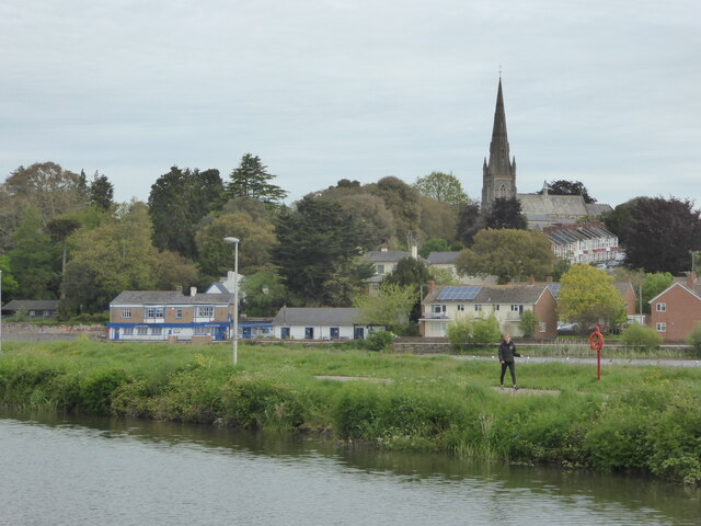
Image: © Chris Allen Taken: 28 May 2021
The canal is in the foreground. The River Exe is hidden between the canal and the public house.
Images are licensed for reuse under creativecommons.org/licenses/by-sa/2.0
Image Location
Latitude
50.715561
Longitude
-3.52605