Heol ddiwyneb ger Ty-newydd / Unsurfaced road near Ty-newydd
Introduction
The photograph on this page of Heol ddiwyneb ger Ty-newydd / Unsurfaced road near Ty-newydd by Alan Richards as part of the Geograph project.
The Geograph project started in 2005 with the aim of publishing, organising and preserving representative images for every square kilometre of Great Britain, Ireland and the Isle of Man.

There are currently over 7.5m images from over 14,400 individuals and you can help contribute to the project by visiting https://www.geograph.org.uk
Heol ddiwyneb ger Ty-newydd / Unsurfaced road near Ty-newydd
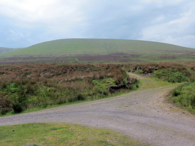
Image: © Alan Richards Taken: 2 Jun 2021
Heol ddiwyneb ger anhedd-dy o'r enw Ty-newydd. Y bryn yn y pellter yw Truman. An unsurfaced road near a property known as Ty-newydd (trans. new house). The hill in the distance is Truman (trans. small ridge).
Images are licensed for reuse under creativecommons.org/licenses/by-sa/2.0
Image Location
Latitude
51.874579
Longitude
-3.824289