St Laurence, East Harptree
Introduction
The photograph on this page of St Laurence, East Harptree by Neil Owen as part of the Geograph project.
The Geograph project started in 2005 with the aim of publishing, organising and preserving representative images for every square kilometre of Great Britain, Ireland and the Isle of Man.

There are currently over 7.5m images from over 14,400 individuals and you can help contribute to the project by visiting https://www.geograph.org.uk
St Laurence, East Harptree
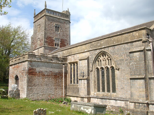
Image: © Neil Owen Taken: 29 Apr 2021
The church dates back to the late twelfth century, with additions in the thirteenth; the tower is fifteenth century and some renovation was carried out in the 1880s. Note the differing styles of windows. Grade II* listed.
Images are licensed for reuse under creativecommons.org/licenses/by-sa/2.0
Image Location


Leaflet Map data © OpenStreetMap
Latitude
51.301095
Longitude
-2.624626