B4069 by Gate Farm, Kington Langley
Introduction
The photograph on this page of B4069 by Gate Farm, Kington Langley by Robin Webster as part of the Geograph project.
The Geograph project started in 2005 with the aim of publishing, organising and preserving representative images for every square kilometre of Great Britain, Ireland and the Isle of Man.

There are currently over 7.5m images from over 14,400 individuals and you can help contribute to the project by visiting https://www.geograph.org.uk
B4069 by Gate Farm, Kington Langley
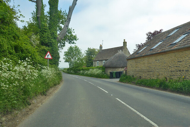
Image: © Robin Webster Taken: 30 May 2021
The house is grade II listed, but a little circular thatched building by the farmyard entrance is not.
Images are licensed for reuse under creativecommons.org/licenses/by-sa/2.0
Image Location
Latitude
51.494599
Longitude
-2.101647