Leyton High Road
Introduction
The photograph on this page of Leyton High Road by Malc McDonald as part of the Geograph project.
The Geograph project started in 2005 with the aim of publishing, organising and preserving representative images for every square kilometre of Great Britain, Ireland and the Isle of Man.

There are currently over 7.5m images from over 14,400 individuals and you can help contribute to the project by visiting https://www.geograph.org.uk
Leyton High Road
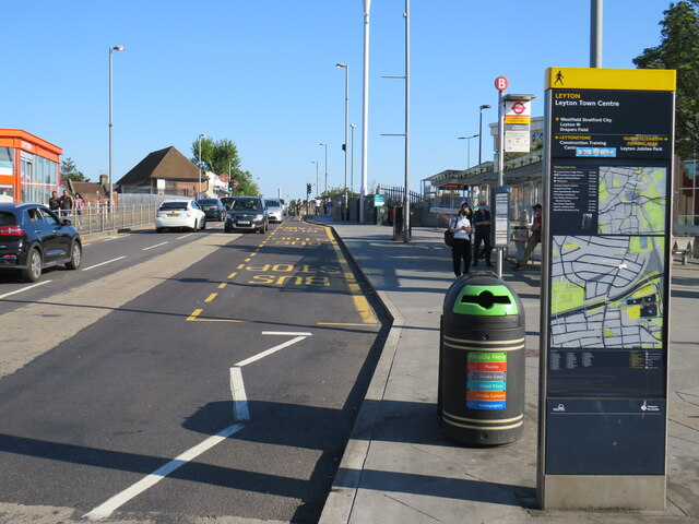
Image: © Malc McDonald Taken: 31 May 2021
Leyton High Road in the suburbs of north east London. The road forms part of the route of the A112. Here the road crosses over London Underground's Central Line as well as the A12. Leyton London Underground station is at the top of the slope on the opposite side of the road.
Images are licensed for reuse under creativecommons.org/licenses/by-sa/2.0
Image Location
Latitude
51.557107
Longitude
-0.006438