Inchbrayock Manse on Usan Road, by Montrose
Introduction
The photograph on this page of Inchbrayock Manse on Usan Road, by Montrose by Adrian Diack as part of the Geograph project.
The Geograph project started in 2005 with the aim of publishing, organising and preserving representative images for every square kilometre of Great Britain, Ireland and the Isle of Man.

There are currently over 7.5m images from over 14,400 individuals and you can help contribute to the project by visiting https://www.geograph.org.uk
Inchbrayock Manse on Usan Road, by Montrose
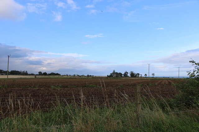
Image: © Adrian Diack Taken: 21 Aug 2020
This photo was taken by the roadside near to what is marked as Triangle Croft on the Victorian six inch to a mile map of Kirkton of Craig. The eastward looking view over a flat, arable field shows the present day Inchbrayock Manse. The Victorian six inch to a mile map marks this manse as the United Free Church Manse which was once the home of Rev Hugh Mitchell, M.A, LL.D. Rev Mitchell was a much loved minister who died in 1846 during the 46th year of his service there. In addition to his ministerial duties, he was a pioneering palaeontologist and the discoverer of the then named fossil fish Acanthodes Mitchelli. At the same Farnell location, he also found two new fossil fish which were named by Sir Philip Egerton as Climatius scutiger and Diplacanthus (Ischnacanthus) gracilis. Another new fish, Pteraspis Mitchelli was named after him by his friend James Powrie, F.G.S. of Reswallie, near Forfar. Both Sir Roderick Murchison and Sir Charles Lyell visited Rev. Mitchell at his manse, in the parish of Craig, to examine his extensive palaeontological and mineral collections.
Images are licensed for reuse under creativecommons.org/licenses/by-sa/2.0
Image Location
Latitude
56.693618
Longitude
-2.459589