Pond near Rivendell
Introduction
The photograph on this page of Pond near Rivendell by Alan Murray-Rust as part of the Geograph project.
The Geograph project started in 2005 with the aim of publishing, organising and preserving representative images for every square kilometre of Great Britain, Ireland and the Isle of Man.

There are currently over 7.5m images from over 14,400 individuals and you can help contribute to the project by visiting https://www.geograph.org.uk
Pond near Rivendell
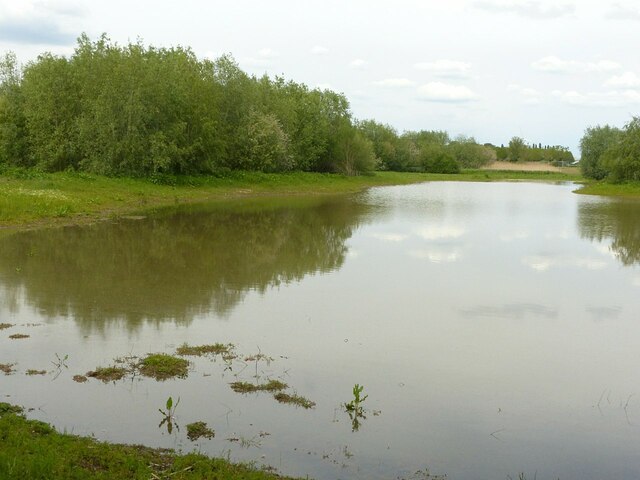
Image: © Alan Murray-Rust Taken: 28 May 2021
Some of the land between the new Rivendell housing development and Netherfield Lagoons is being left as wildlife space.
Images are licensed for reuse under creativecommons.org/licenses/by-sa/2.0
Image Location
Latitude
52.962017
Longitude
-1.059813