Vernonlane Farm
Introduction
The photograph on this page of Vernonlane Farm by Bill Boaden as part of the Geograph project.
The Geograph project started in 2005 with the aim of publishing, organising and preserving representative images for every square kilometre of Great Britain, Ireland and the Isle of Man.

There are currently over 7.5m images from over 14,400 individuals and you can help contribute to the project by visiting https://www.geograph.org.uk
Vernonlane Farm
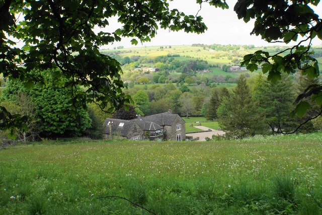
Image: © Bill Boaden Taken: 29 May 2021
A view from Vernon Lane across the upper reaches of the Amber valley. The river is not called the Amber here but comprises two brooks, Hodgelane Brook and Smalley Brook.
Images are licensed for reuse under creativecommons.org/licenses/by-sa/2.0
Image Location
Latitude
53.17041
Longitude
-1.51363