Raikes House Farm on SE side of Brown Bank Lane
Introduction
The photograph on this page of Raikes House Farm on SE side of Brown Bank Lane by Roger Templeman as part of the Geograph project.
The Geograph project started in 2005 with the aim of publishing, organising and preserving representative images for every square kilometre of Great Britain, Ireland and the Isle of Man.

There are currently over 7.5m images from over 14,400 individuals and you can help contribute to the project by visiting https://www.geograph.org.uk
Raikes House Farm on SE side of Brown Bank Lane
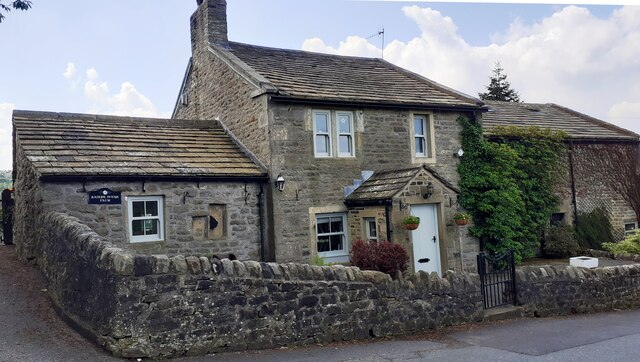
Image: © Roger Templeman Taken: 29 May 2021
There is an Ordnance Survey benchmark Image on the sill of the ground floor window left of the porch
Images are licensed for reuse under creativecommons.org/licenses/by-sa/2.0
Image Location


Leaflet Map data © OpenStreetMap
Latitude
53.9193
Longitude
-1.92688