Action at the former Ridgeway School site, Montague Road, Warwick
Introduction
The photograph on this page of Action at the former Ridgeway School site, Montague Road, Warwick by Robin Stott as part of the Geograph project.
The Geograph project started in 2005 with the aim of publishing, organising and preserving representative images for every square kilometre of Great Britain, Ireland and the Isle of Man.

There are currently over 7.5m images from over 14,400 individuals and you can help contribute to the project by visiting https://www.geograph.org.uk
Action at the former Ridgeway School site, Montague Road, Warwick
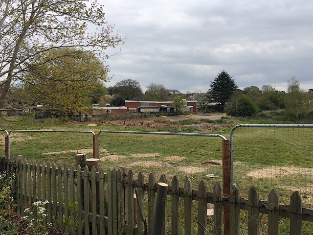
Image: © Robin Stott Taken: 1 May 2021
A housing development branded Montague Point will be built. The view is from Coventry Road near the canal bridge.
Images are licensed for reuse under creativecommons.org/licenses/by-sa/2.0
Image Location
Latitude
52.291645
Longitude
-1.576968