Ridgegrove Lane
Introduction
The photograph on this page of Ridgegrove Lane by Des Blenkinsopp as part of the Geograph project.
The Geograph project started in 2005 with the aim of publishing, organising and preserving representative images for every square kilometre of Great Britain, Ireland and the Isle of Man.

There are currently over 7.5m images from over 14,400 individuals and you can help contribute to the project by visiting https://www.geograph.org.uk
Ridgegrove Lane
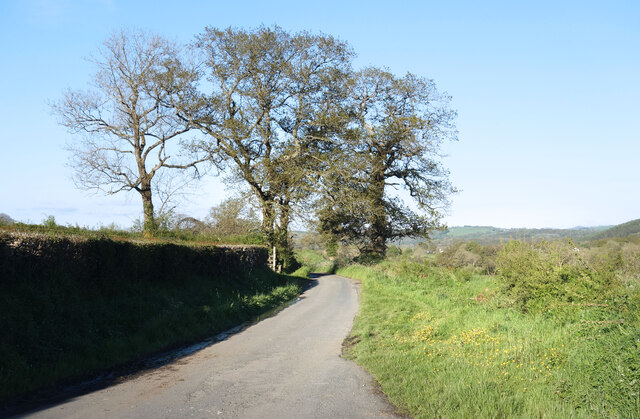
Image: © Des Blenkinsopp Taken: 26 May 2021
A narrow country road which is also used by the Tamar Valley Discovery Trail https://www.ldwa.org.uk/ldp/members/show_path.php?path_name=Tamar+Valley+Discovery+Trail and the Two Castles Trail https://visitdartmoor.co.uk/get-active/the-best-dartmoor-walks/two-castles-trail which both start/end at Launceston.
Images are licensed for reuse under creativecommons.org/licenses/by-sa/2.0
Image Location
Latitude
50.639344
Longitude
-4.345713