Sand dune vegetation and grassland used for sports, Montrose
Introduction
The photograph on this page of Sand dune vegetation and grassland used for sports, Montrose by Andrew Diack as part of the Geograph project.
The Geograph project started in 2005 with the aim of publishing, organising and preserving representative images for every square kilometre of Great Britain, Ireland and the Isle of Man.

There are currently over 7.5m images from over 14,400 individuals and you can help contribute to the project by visiting https://www.geograph.org.uk
Sand dune vegetation and grassland used for sports, Montrose
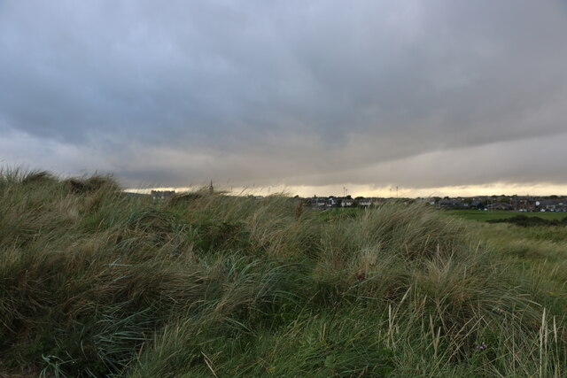
Image: © Andrew Diack Taken: 21 Aug 2020
This photo shows part of a line of sand dunes, near Traill Pavilion, which run parallel to the coast. A short distance inland, there is another parallel line of pitches and golf links. The two areas of grassland, though close to each other, have sharp boundaries as they represent distinctive forms of land use.
Images are licensed for reuse under creativecommons.org/licenses/by-sa/2.0
Image Location
Latitude
56.712241
Longitude
-2.452301