Entrance to Lower Lundy
Introduction
The photograph on this page of Entrance to Lower Lundy by Graham Horn as part of the Geograph project.
The Geograph project started in 2005 with the aim of publishing, organising and preserving representative images for every square kilometre of Great Britain, Ireland and the Isle of Man.

There are currently over 7.5m images from over 14,400 individuals and you can help contribute to the project by visiting https://www.geograph.org.uk
Entrance to Lower Lundy
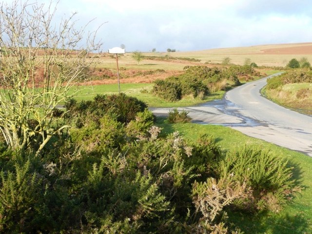
Image: © Graham Horn Taken: 26 Jan 2008
The road heads off over the moors towards Rhulen. The sign is the entrance to Lower Lundy one of the valley farms.
Images are licensed for reuse under creativecommons.org/licenses/by-sa/2.0
Image Location
Latitude
52.116454
Longitude
-3.2273