Path junction with wooden kissing gate, Hawkes End
Introduction
The photograph on this page of Path junction with wooden kissing gate, Hawkes End by A J Paxton as part of the Geograph project.
The Geograph project started in 2005 with the aim of publishing, organising and preserving representative images for every square kilometre of Great Britain, Ireland and the Isle of Man.

There are currently over 7.5m images from over 14,400 individuals and you can help contribute to the project by visiting https://www.geograph.org.uk
Path junction with wooden kissing gate, Hawkes End
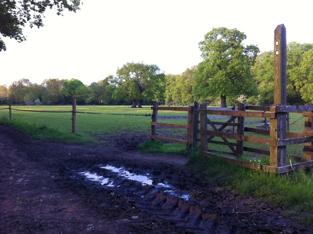
Image: © A J Paxton Taken: 27 May 2021
The path from Hollyfast Lane to Hawkes End comes to an end here, marked on the OS map but blocked by a possessive landowner (this photo points away from the blocked section of path, which is behind the photographer). Fortunately there is another option, through the kissing gate, across the field to the right, between a wood and a fence at the end of gardens, emerging onto a lane in the ribbon-development settlement of Hawkes End.
Images are licensed for reuse under creativecommons.org/licenses/by-sa/2.0
Image Location
Latitude
52.443522
Longitude
-1.561098