Lock 59 and Rail bridge
Introduction
The photograph on this page of Lock 59 and Rail bridge by Dan as part of the Geograph project.
The Geograph project started in 2005 with the aim of publishing, organising and preserving representative images for every square kilometre of Great Britain, Ireland and the Isle of Man.

There are currently over 7.5m images from over 14,400 individuals and you can help contribute to the project by visiting https://www.geograph.org.uk
Lock 59 and Rail bridge
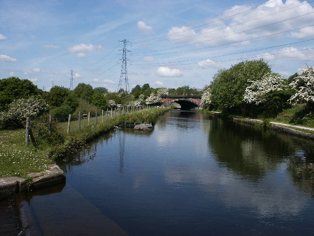
Image: © Dan Taken: 1 Sep 2004
From lock 59 looking North towards Slattocks, the railway takes the opportunity to hop over the canal. According to 'The History of Thornham' by Leon MacLeod, the original intention was for the line to go under the canal at Slattocks! 'Tar' Betty's lock house was around here somewhere but was demolished in 1912.
Images are licensed for reuse under creativecommons.org/licenses/by-sa/2.0
Image Location


Leaflet Map data © OpenStreetMap
Latitude
53.56668
Longitude
-2.176618