NCR 467 to Tredegar & Bryn Bach Park
Introduction
The photograph on this page of NCR 467 to Tredegar & Bryn Bach Park by M J Roscoe as part of the Geograph project.
The Geograph project started in 2005 with the aim of publishing, organising and preserving representative images for every square kilometre of Great Britain, Ireland and the Isle of Man.

There are currently over 7.5m images from over 14,400 individuals and you can help contribute to the project by visiting https://www.geograph.org.uk
NCR 467 to Tredegar & Bryn Bach Park
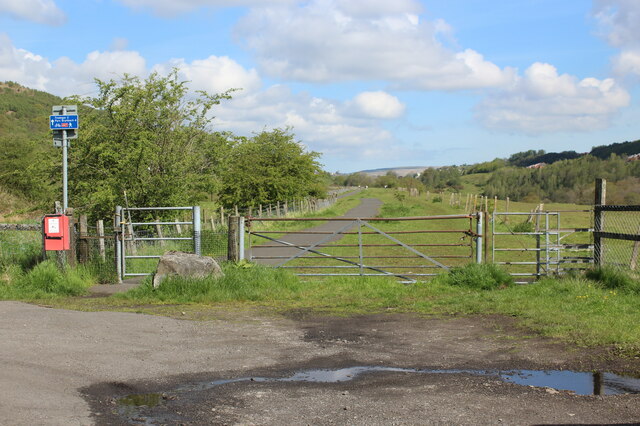
Image: © M J Roscoe Taken: 27 May 2021
Off-road resumption north, on a former railway track bed from Blackwood, of the cycle route which followed the highway from Hollybush to Bedwellty Pits. Since 2013 Image the fenced off area has been widened and a field gate and pedestrian gate installed at the start of the lane.
Images are licensed for reuse under creativecommons.org/licenses/by-sa/2.0
Image Location
Latitude
51.74776
Longitude
-3.223508