Water pipes, Steele Lane, Barkisland
Introduction
The photograph on this page of Water pipes, Steele Lane, Barkisland by Humphrey Bolton as part of the Geograph project.
The Geograph project started in 2005 with the aim of publishing, organising and preserving representative images for every square kilometre of Great Britain, Ireland and the Isle of Man.

There are currently over 7.5m images from over 14,400 individuals and you can help contribute to the project by visiting https://www.geograph.org.uk
Water pipes, Steele Lane, Barkisland
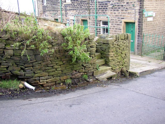
Image: © Humphrey Bolton Taken: 7 Feb 2008
There is a well behind the wall, the former water supply for the cottages. There are two outlet pipes, the iron one with an open rodding eye through which the flow of water can be seen, and a modern plastic pipe.
Images are licensed for reuse under creativecommons.org/licenses/by-sa/2.0
Image Location


Leaflet Map data © OpenStreetMap
Latitude
53.662952
Longitude
-1.910676