Wenlock Drive, Escrick
Introduction
The photograph on this page of Wenlock Drive, Escrick by Gordon Hatton as part of the Geograph project.
The Geograph project started in 2005 with the aim of publishing, organising and preserving representative images for every square kilometre of Great Britain, Ireland and the Isle of Man.

There are currently over 7.5m images from over 14,400 individuals and you can help contribute to the project by visiting https://www.geograph.org.uk
Wenlock Drive, Escrick
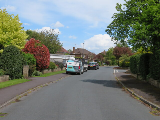
Image: © Gordon Hatton Taken: 24 May 2021
First editions of Pevsner's guide to the East Riding [of which Escrick was a part] describes the village as being swamped by 'expensive and pretentious suburban housing'. I assume that Wenlock Drive, which is named after the Lords Wenlock of Escrick Hall would have come into this category. The village is just a few miles south of York on the A19 and was ripe for development, particularly in the area between the old village just north of the Hall and the church.
Images are licensed for reuse under creativecommons.org/licenses/by-sa/2.0
Image Location
Latitude
53.880177
Longitude
-1.041775