Development land
Introduction
The photograph on this page of Development land by John Baker as part of the Geograph project.
The Geograph project started in 2005 with the aim of publishing, organising and preserving representative images for every square kilometre of Great Britain, Ireland and the Isle of Man.

There are currently over 7.5m images from over 14,400 individuals and you can help contribute to the project by visiting https://www.geograph.org.uk
Development land
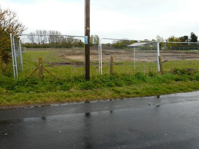
Image: © John Baker Taken: 2 May 2021
Viewed from Ashford Road, this view of the Image shows it from another location. Planning permission has been approved, with conditions, by Folkestone and Hythe District Council under application number Y18/1404/FH for an “outline planning application for the erection of up to 117 dwellings with public open space, landscaping and sustainable drainage system and vehicular access point from Ashford Road. All matters reserved except for means of access”. The development includes the site of Image The puddles and wet road surface were caused by coastal showers.
Images are licensed for reuse under creativecommons.org/licenses/by-sa/2.0
Image Location
Latitude
50.988249
Longitude
0.937371