Farm, Steele Lane, Barkisland
Introduction
The photograph on this page of Farm, Steele Lane, Barkisland by Humphrey Bolton as part of the Geograph project.
The Geograph project started in 2005 with the aim of publishing, organising and preserving representative images for every square kilometre of Great Britain, Ireland and the Isle of Man.

There are currently over 7.5m images from over 14,400 individuals and you can help contribute to the project by visiting https://www.geograph.org.uk
Farm, Steele Lane, Barkisland
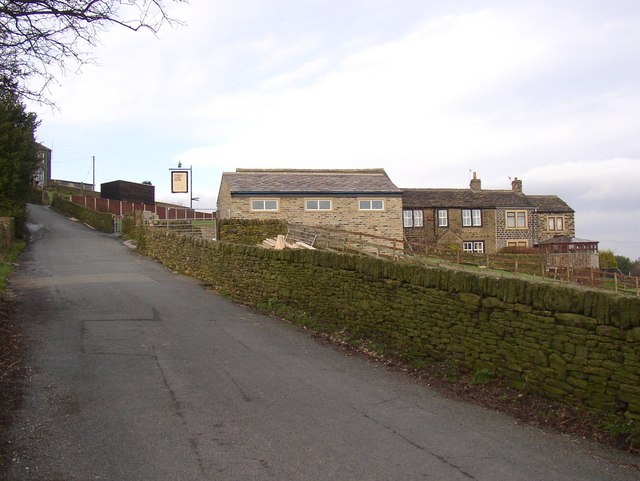
Image: © Humphrey Bolton Taken: 7 Feb 2008
Note that the farmhouse appears to have had two cottages added at the right-hand end. The modern spelling has an 'e' at the end, but it is 'Steel' on the mid-20C 6 inch map.
Images are licensed for reuse under creativecommons.org/licenses/by-sa/2.0
Image Location
Latitude
53.662053
Longitude
-1.910678