Herringthorpe Playing Fields boundary
Introduction
The photograph on this page of Herringthorpe Playing Fields boundary by Ryk Rak as part of the Geograph project.
The Geograph project started in 2005 with the aim of publishing, organising and preserving representative images for every square kilometre of Great Britain, Ireland and the Isle of Man.

There are currently over 7.5m images from over 14,400 individuals and you can help contribute to the project by visiting https://www.geograph.org.uk
Herringthorpe Playing Fields boundary
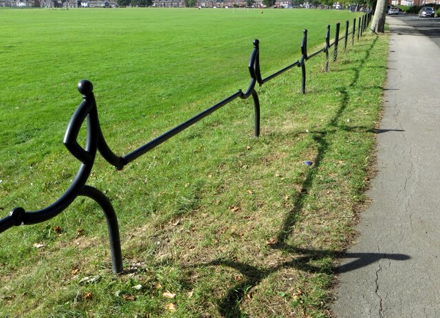
Image: © Ryk Rak Taken: 13 Sep 2019
Boundary marker fence of Herringthorpe Playing fields along Middle Lane South. Approximately halfway along the boundary and looking North towards Clifton.
Images are licensed for reuse under creativecommons.org/licenses/by-sa/2.0
Image Location
Latitude
53.426802
Longitude
-1.333728