Fields below Ashover Hay
Introduction
The photograph on this page of Fields below Ashover Hay by Bill Boaden as part of the Geograph project.
The Geograph project started in 2005 with the aim of publishing, organising and preserving representative images for every square kilometre of Great Britain, Ireland and the Isle of Man.

There are currently over 7.5m images from over 14,400 individuals and you can help contribute to the project by visiting https://www.geograph.org.uk
Fields below Ashover Hay
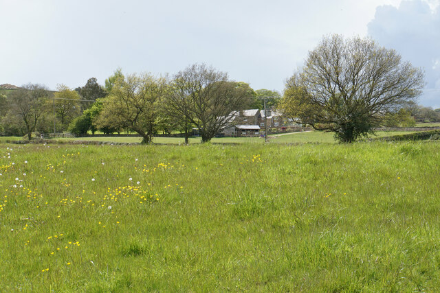
Image: © Bill Boaden Taken: 16 May 2021
Ashover Hay rises to the left. This is a small plateau between the hill and the River Amber which is behind me.
Images are licensed for reuse under creativecommons.org/licenses/by-sa/2.0
Image Location
Latitude
53.146367
Longitude
-1.461871