Flood barrier?
Introduction
The photograph on this page of Flood barrier? by Oliver Dixon as part of the Geograph project.
The Geograph project started in 2005 with the aim of publishing, organising and preserving representative images for every square kilometre of Great Britain, Ireland and the Isle of Man.

There are currently over 7.5m images from over 14,400 individuals and you can help contribute to the project by visiting https://www.geograph.org.uk
Flood barrier?
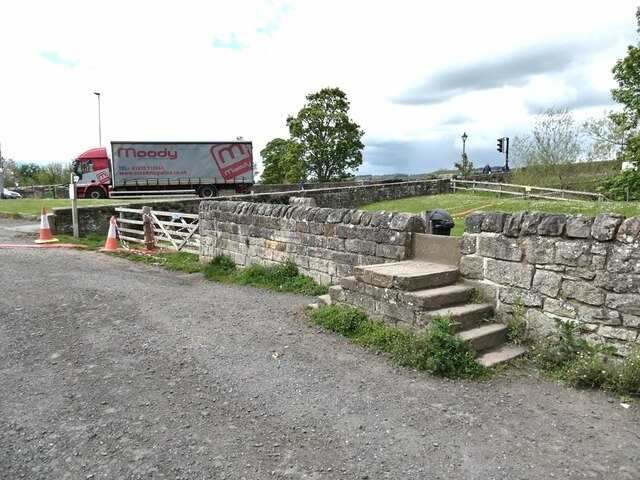
Image: © Oliver Dixon Taken: 25 May 2021
Land on the south side of the river is liable to flood. The wall in the foreground affords flood protection additional to the bund behind it. But raising the threshold on the footpath over the wall is a bit of a waste of time considering the unprotected gateway immediately to the left. The traffic in the background is on the way down from the ancient Corbridge Bridge.
Images are licensed for reuse under creativecommons.org/licenses/by-sa/2.0
Image Location
Latitude
54.971067
Longitude
-2.018559