Public footpath 92W, Maidenbower, Crawley
Introduction
The photograph on this page of Public footpath 92W, Maidenbower, Crawley by Robin Webster as part of the Geograph project.
The Geograph project started in 2005 with the aim of publishing, organising and preserving representative images for every square kilometre of Great Britain, Ireland and the Isle of Man.

There are currently over 7.5m images from over 14,400 individuals and you can help contribute to the project by visiting https://www.geograph.org.uk
Public footpath 92W, Maidenbower, Crawley
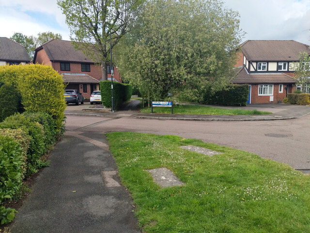
Image: © Robin Webster Taken: 24 May 2021
Using here the pavement of part of Saxon Road, crossing the end of Osmund Close and then using its old route towards an end-on junction with path 90W to Turners Hill Road.
Images are licensed for reuse under creativecommons.org/licenses/by-sa/2.0
Image Location
Latitude
51.113528
Longitude
-0.139888