Causeway, Barkisland
Introduction
The photograph on this page of Causeway, Barkisland by Humphrey Bolton as part of the Geograph project.
The Geograph project started in 2005 with the aim of publishing, organising and preserving representative images for every square kilometre of Great Britain, Ireland and the Isle of Man.

There are currently over 7.5m images from over 14,400 individuals and you can help contribute to the project by visiting https://www.geograph.org.uk
Causeway, Barkisland
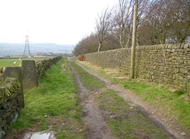
Image: © Humphrey Bolton Taken: 7 Feb 2008
Causeway is the name of this bridleway, which was shown as a road (presumably unsurfaced) on old 1 inch maps.
Images are licensed for reuse under creativecommons.org/licenses/by-sa/2.0
Image Location
Latitude
53.665657
Longitude
-1.922778