Ominous clouds at Upper Wolverton
Introduction
The photograph on this page of Ominous clouds at Upper Wolverton by Jonathan Thacker as part of the Geograph project.
The Geograph project started in 2005 with the aim of publishing, organising and preserving representative images for every square kilometre of Great Britain, Ireland and the Isle of Man.

There are currently over 7.5m images from over 14,400 individuals and you can help contribute to the project by visiting https://www.geograph.org.uk
Ominous clouds at Upper Wolverton
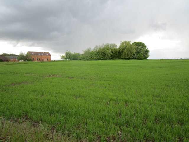
Image: © Jonathan Thacker Taken: 24 May 2021
We did indeed get very wet.
Images are licensed for reuse under creativecommons.org/licenses/by-sa/2.0
Image Location
Latitude
52.156217
Longitude
-2.128731