Railway bridge at NE end of St Ninian's Road
Introduction
The photograph on this page of Railway bridge at NE end of St Ninian's Road by Luke Shaw as part of the Geograph project.
The Geograph project started in 2005 with the aim of publishing, organising and preserving representative images for every square kilometre of Great Britain, Ireland and the Isle of Man.

There are currently over 7.5m images from over 14,400 individuals and you can help contribute to the project by visiting https://www.geograph.org.uk
Railway bridge at NE end of St Ninian's Road
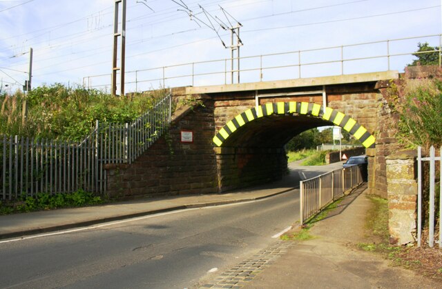
Image: © Luke Shaw Taken: 24 Aug 2019
There is an Ordnance Survey benchmark Image on the bridge abutment wall on the left hand side of the road about 4 feet from the junction of the wall and the bridge. The west end of Upperby Bridge Image can be seen through the bridge
Images are licensed for reuse under creativecommons.org/licenses/by-sa/2.0
Image Location
Latitude
54.874073
Longitude
-2.915043