Stuartfield Primary School
Introduction
The photograph on this page of Stuartfield Primary School by Bill Harrison as part of the Geograph project.
The Geograph project started in 2005 with the aim of publishing, organising and preserving representative images for every square kilometre of Great Britain, Ireland and the Isle of Man.

There are currently over 7.5m images from over 14,400 individuals and you can help contribute to the project by visiting https://www.geograph.org.uk
Stuartfield Primary School
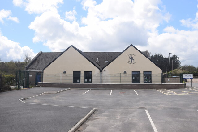
Image: © Bill Harrison Taken: 22 May 2021
The older parts of the school are behind the modern extension, which shows the school logo of the village pump. The school roll is a healthy 122 in 2020-21, no doubt due in part to modern housing developments in the village.
Images are licensed for reuse under creativecommons.org/licenses/by-sa/2.0
Image Location
Latitude
57.501948
Longitude
-2.045205