Village view of Stuartfield
Introduction
The photograph on this page of Village view of Stuartfield by Bill Harrison as part of the Geograph project.
The Geograph project started in 2005 with the aim of publishing, organising and preserving representative images for every square kilometre of Great Britain, Ireland and the Isle of Man.

There are currently over 7.5m images from over 14,400 individuals and you can help contribute to the project by visiting https://www.geograph.org.uk
Village view of Stuartfield
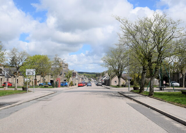
Image: © Bill Harrison Taken: 22 May 2021
Looking north along the wide main street of the attractive improvement village dating from ca. 1772, which once housed weavers but now mostly commuters. There is a Canmore listing (120125: https://canmore.org.uk/site/120125/stuartfield ) but no details are given.
Images are licensed for reuse under creativecommons.org/licenses/by-sa/2.0
Image Location
Latitude
57.503564
Longitude
-2.046375