Landscape layers
Introduction
The photograph on this page of Landscape layers by Alan Hughes as part of the Geograph project.
The Geograph project started in 2005 with the aim of publishing, organising and preserving representative images for every square kilometre of Great Britain, Ireland and the Isle of Man.

There are currently over 7.5m images from over 14,400 individuals and you can help contribute to the project by visiting https://www.geograph.org.uk
Landscape layers
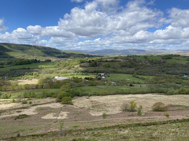
Image: © Alan Hughes Taken: 19 May 2021
View from the bracken-clad lower slopes of Hirfynydd, across the tree-lined farmland of the Dulais valley towards the distant moorlands of the Carmarthenshire Fans. Mynydd Marchywel on the left points a finger towards the uplands of the Western Beacons. A factory and a farm complete the variety of the landscape.
Images are licensed for reuse under creativecommons.org/licenses/by-sa/2.0
Image Location
Latitude
51.745665
Longitude
-3.739128