Beech House Road (B2244) between Sedlescombe and Cripps Corner
Introduction
The photograph on this page of Beech House Road (B2244) between Sedlescombe and Cripps Corner by Patrick Roper as part of the Geograph project.
The Geograph project started in 2005 with the aim of publishing, organising and preserving representative images for every square kilometre of Great Britain, Ireland and the Isle of Man.

There are currently over 7.5m images from over 14,400 individuals and you can help contribute to the project by visiting https://www.geograph.org.uk
Beech House Road (B2244) between Sedlescombe and Cripps Corner
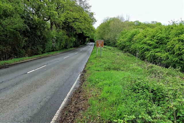
Image: © Patrick Roper Taken: 14 May 2021
The brown sign alerts drivers to the Sedlescombe Organic Vineyard. The grassy verge is wide on the east of the road and under consideration as a wildlife verge reserve.
Images are licensed for reuse under creativecommons.org/licenses/by-sa/2.0
Image Location


Leaflet Map data © OpenStreetMap
Latitude
50.949789
Longitude
0.528571