Sack Hill
Introduction
The photograph on this page of Sack Hill by Chris Heaton as part of the Geograph project.
The Geograph project started in 2005 with the aim of publishing, organising and preserving representative images for every square kilometre of Great Britain, Ireland and the Isle of Man.

There are currently over 7.5m images from over 14,400 individuals and you can help contribute to the project by visiting https://www.geograph.org.uk
Sack Hill
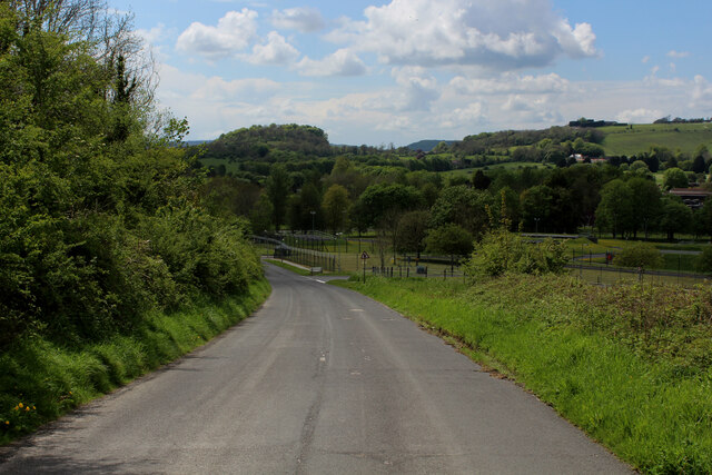
Image: © Chris Heaton Taken: 17 May 2021
Leads down into Warminster around the base of Battlesbury Hill passing the army garrison and training centre
Images are licensed for reuse under creativecommons.org/licenses/by-sa/2.0
Image Location
Latitude
51.215174
Longitude
-2.150852