The Yacht Club Riverside development
Introduction
The photograph on this page of The Yacht Club Riverside development by John Sutton as part of the Geograph project.
The Geograph project started in 2005 with the aim of publishing, organising and preserving representative images for every square kilometre of Great Britain, Ireland and the Isle of Man.

There are currently over 7.5m images from over 14,400 individuals and you can help contribute to the project by visiting https://www.geograph.org.uk
The Yacht Club Riverside development
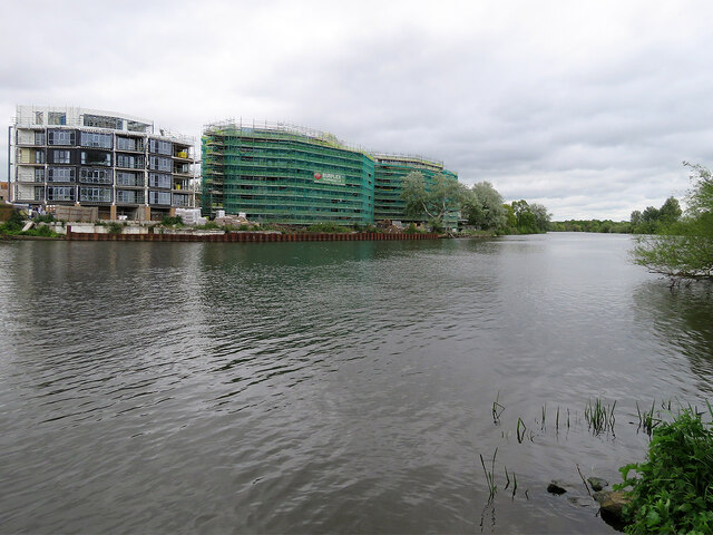
Image: © John Sutton Taken: 21 May 2021
More flats, approached from Trent Lane, are being built on the Sneinton bank of the River Trent. This is a view of them from the Lady Bay side, taken on a cold and cheerless May afternoon. Image] and Image] show work in progress in July and September 2019.
Images are licensed for reuse under creativecommons.org/licenses/by-sa/2.0
Image Location
Latitude
52.942709
Longitude
-1.121244