Ashover Hay
Introduction
The photograph on this page of Ashover Hay by Bill Boaden as part of the Geograph project.
The Geograph project started in 2005 with the aim of publishing, organising and preserving representative images for every square kilometre of Great Britain, Ireland and the Isle of Man.

There are currently over 7.5m images from over 14,400 individuals and you can help contribute to the project by visiting https://www.geograph.org.uk
Ashover Hay
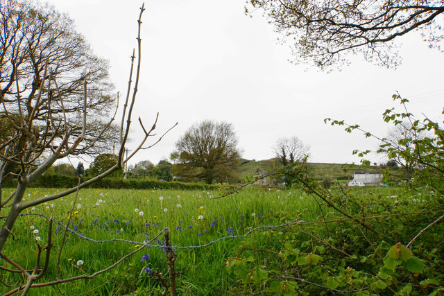
Image: © Bill Boaden Taken: 16 May 2021
Looking uphill from Stonerows Lane, with the hilltop visible, though the view is slightly inhibited by the steep bank above the lane.
Images are licensed for reuse under creativecommons.org/licenses/by-sa/2.0
Image Location
Latitude
53.142619
Longitude
-1.467898