Civil War Plaque in Mount Lane
Introduction
The photograph on this page of Civil War Plaque in Mount Lane by El Loco as part of the Geograph project.
The Geograph project started in 2005 with the aim of publishing, organising and preserving representative images for every square kilometre of Great Britain, Ireland and the Isle of Man.

There are currently over 7.5m images from over 14,400 individuals and you can help contribute to the project by visiting https://www.geograph.org.uk
Civil War Plaque in Mount Lane
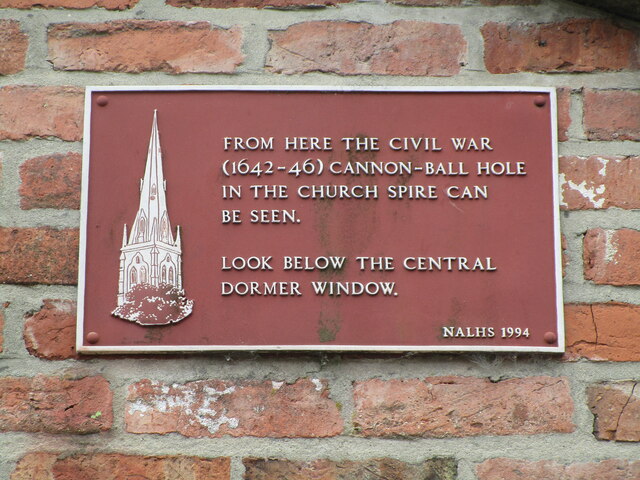
Image: © El Loco Taken: 23 May 2021
Helps pick out where a cannon=ball crashed into the church spire of St Mary Magdalene visible above to the right.
Images are licensed for reuse under creativecommons.org/licenses/by-sa/2.0
Image Location
Latitude
53.076975
Longitude
-0.807123