Vernacular houses, Lockhurst Lane
Introduction
The photograph on this page of Vernacular houses, Lockhurst Lane by A J Paxton as part of the Geograph project.
The Geograph project started in 2005 with the aim of publishing, organising and preserving representative images for every square kilometre of Great Britain, Ireland and the Isle of Man.

There are currently over 7.5m images from over 14,400 individuals and you can help contribute to the project by visiting https://www.geograph.org.uk
Vernacular houses, Lockhurst Lane
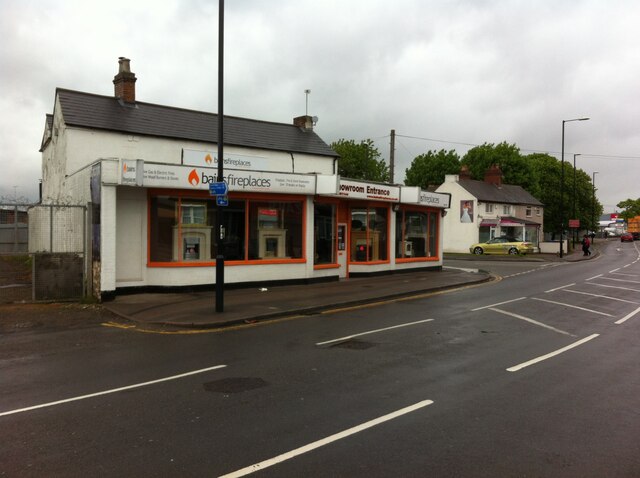
Image: © A J Paxton Taken: 21 May 2021
These two structures are the only obvious survivors of Lockhurst Lane buildings earlier than the late 19th century, and have been much extended with commercial frontages. Lockhurst Lane formed part of the parish of Foleshill and was a centre of the ribbon-weaving industry; one of the earliest co-operative societies was founded here in 1832. https://heartofengland.coop/society/roots/
Images are licensed for reuse under creativecommons.org/licenses/by-sa/2.0
Image Location
Latitude
52.430619
Longitude
-1.503866