Supermarket, Holbrooks, off Holbrook Lane and Parkgate Road
Introduction
The photograph on this page of Supermarket, Holbrooks, off Holbrook Lane and Parkgate Road by A J Paxton as part of the Geograph project.
The Geograph project started in 2005 with the aim of publishing, organising and preserving representative images for every square kilometre of Great Britain, Ireland and the Isle of Man.

There are currently over 7.5m images from over 14,400 individuals and you can help contribute to the project by visiting https://www.geograph.org.uk
Supermarket, Holbrooks, off Holbrook Lane and Parkgate Road
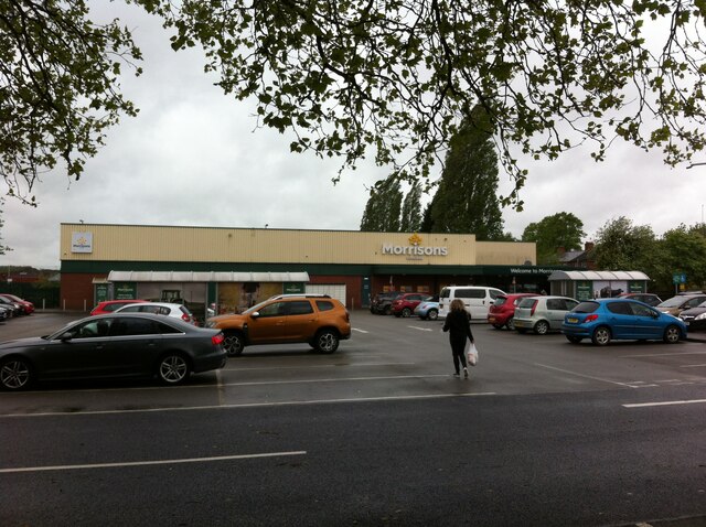
Image: © A J Paxton Taken: 21 May 2021
The main supermarket in Holbrooks is set back from, and barely visible from, the main roads, with a road entrance to the car park from Parkgate Road and a footpath from Holbrook Lane. For many years a Somerfield supermarket, it became a Co-op briefly in 2009 and since then has been a Morrisons.
Images are licensed for reuse under creativecommons.org/licenses/by-sa/2.0
Image Location
Latitude
52.445034
Longitude
-1.511207